Rainforest Protection Nonprofit Landing Page Template
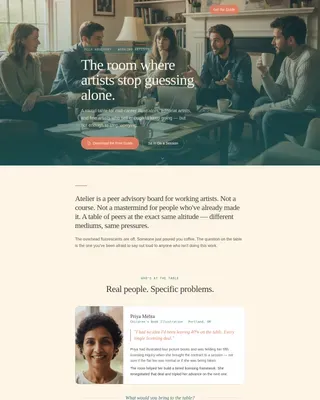
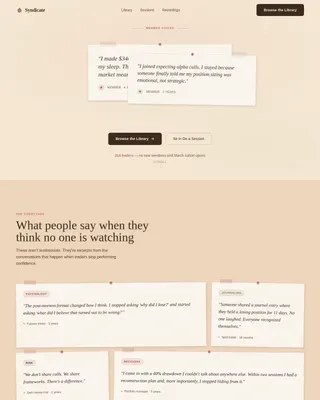
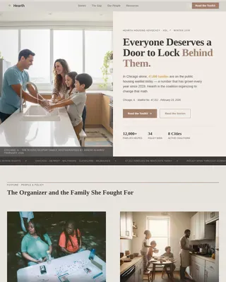
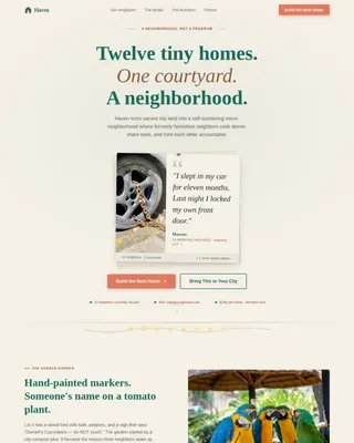
Canopy is a hero-dominant landing page template built for rainforest protection organizations that do real field work. It pairs a full-viewport UGC Photo Wall with an intimate Community Gallery and a three-field lead generation form. The result feels like a basecamp briefing, not a charity pitch. Warm amber, fog white, and humus brown keep the mood grounded and credible.
by Rocket studio
Quick summary
Canopy is a single-page lead generation template for direct-service rainforest protection organizations. A mosaic of field photographs fills ninety percent of the viewport on arrival. Contributor stories, live corridor statistics, and a proximity map build emotional trust before the form ever appears. The tone is campfire-warm and field-documentary honest.
Who this template is for
This template is designed for conservation organizations that put people physically inside threatened rainforest corridors. It speaks to three very different kinds of visitors and handles all three with the same page.
- Conservation biology graduates looking for fieldwork opportunities and real on-the-ground roles
- Philanthropic families who want named-hectare land stewardship with documented, ongoing proof
- Corporate sustainability officers who need GPS-verified offset data and quarterly photo records
What problem this template solves
Most conservation landing pages look polished but feel distant. They show donation totals and stock imagery instead of the people and places they claim to protect. Visitors leave without understanding what the organization actually does or where their involvement would land.
- Visitors cannot picture the real field work or the teams behind it
- Potential fieldworkers, funders, and corporate partners have no clear path to the right next step
- Organizations struggle to show verifiable, coordinate-level impact without overwhelming a first-time visitor
What you get with this template
You get a complete, single-page layout that moves a visitor from curiosity to commitment through layered storytelling. Every section earns the next one. By the time the form appears, the visitor already feels like an insider.
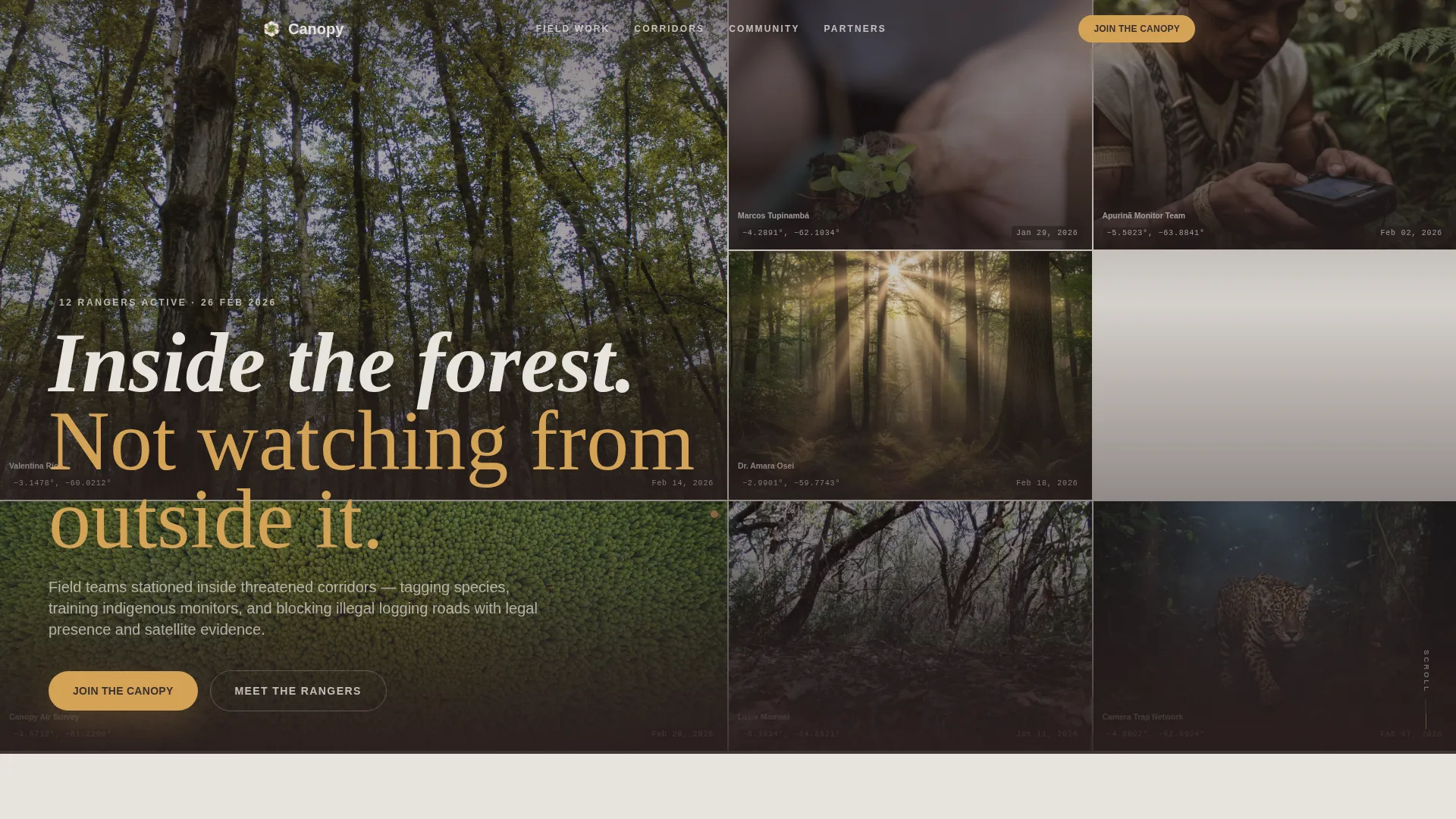
- A ninety-percent-viewport UGC Photo Wall with pulsing tiles, contributor names, dates, and GPS coordinates
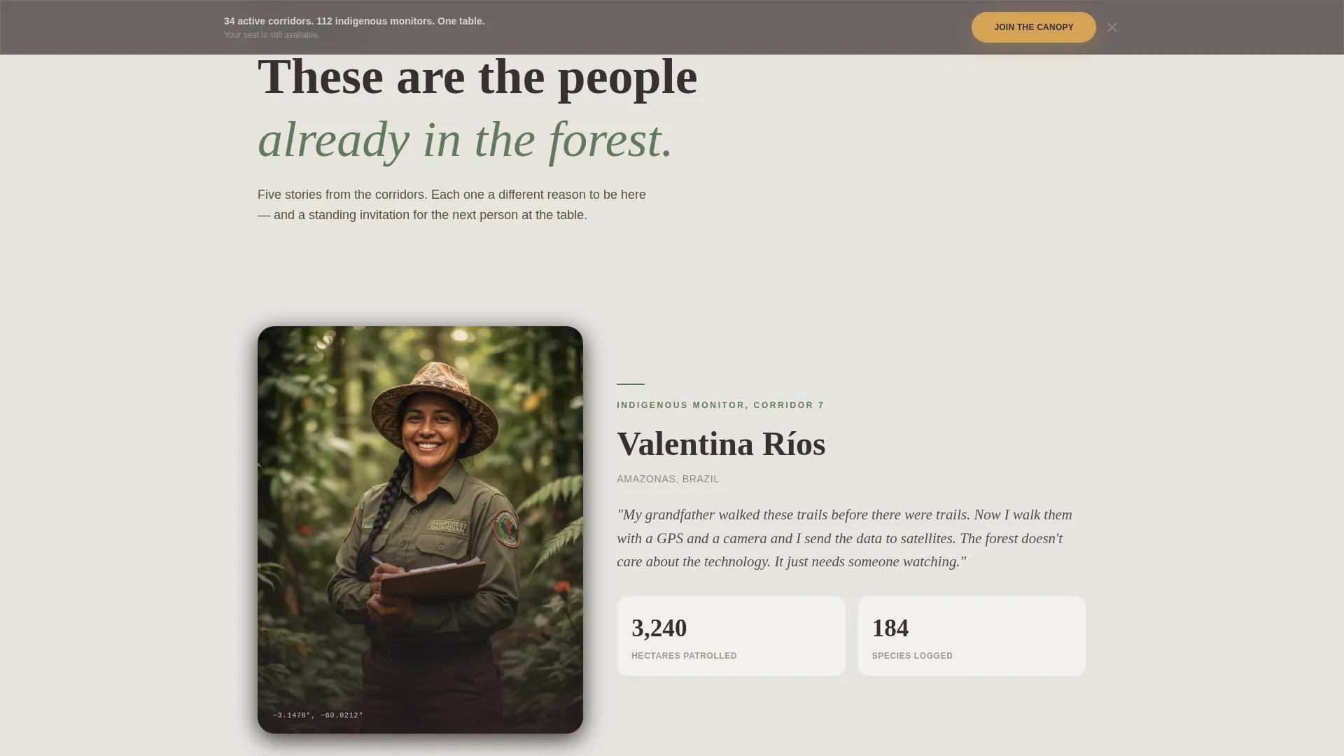
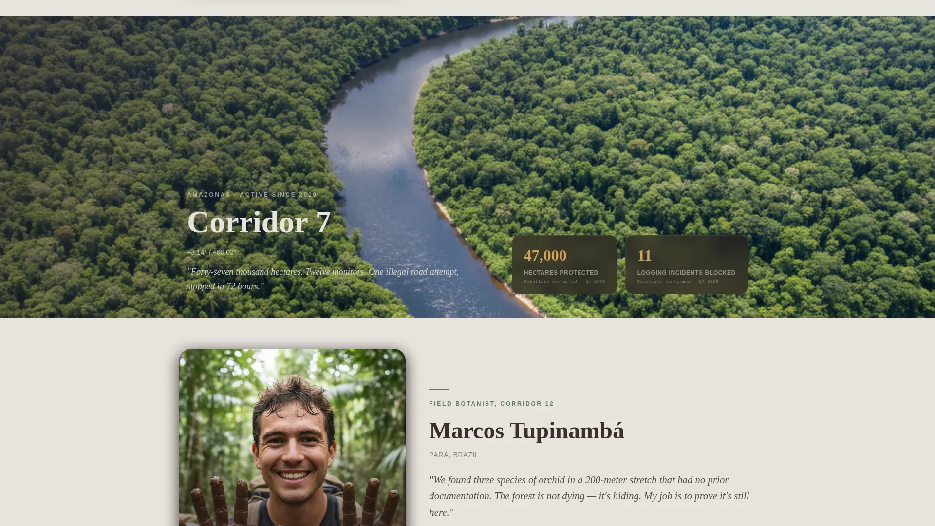
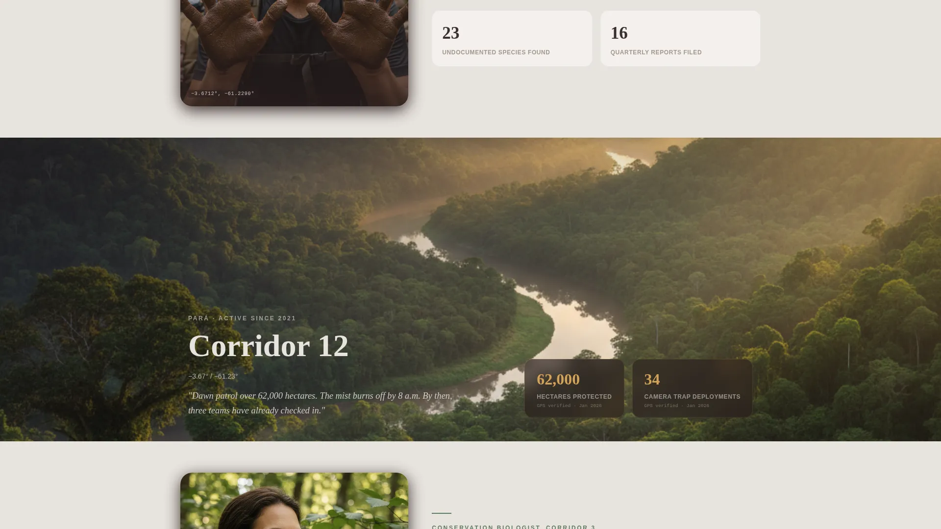
- A five-story Community Gallery that alternates intimate portrait shots with wide drone corridor footage
- A three-field lead generation form with a role-selection dropdown and a coordinate-based proximity map
Feature list
UGC Photo Wall Hero
The header fills ninety percent of the viewport with a living mosaic of unpolished field photographs. Each tile carries the contributor's name, a date, and a decimal-degree coordinate overlay. One photo gently pulses brighter every few seconds, suggesting the community is still actively uploading. No stock imagery appears anywhere in this section.
Community Gallery with Contributor Stories
Five contributor stories follow a deliberate intimate-then-wide rhythm. A close portrait of one field monitor alternates with a drone shot of the corridor that person patrols. Each story includes a direct quote, a photo, and a small data card showing hectares protected or species catalogued on that patrol.
Three-Field Lead Generation Form
The lead generation form asks only for a first name, a role-selection dropdown, and an email address. The dropdown offers three paths: protect land, work in the field, or fund a monitor. No dollar amounts appear anywhere on the form, lowering the barrier for every visitor type.
Coordinate Proximity Map
Visitors can enter a decimal-degree coordinate directly into a small embedded map to see the nearest active corridor. This converts geographic curiosity into emotional proximity before the primary call to action ever appears. It is especially effective for corporate partners who work from specific project coordinates.
Impact Strip and Active Corridors Marquee
A live-stat strip displays current corridor counts, species totals, and total hectares protected. Below it, a scrolling marquee ticker lists the names of active corridors in real time. Together they give data-oriented visitors the verification layer they need without slowing down the emotional flow of the page.
Persistent Bottom Call to Action
A soft amber "Join the Canopy" button is fixed at the bottom of the viewport throughout the scroll journey. It first appears as an inline button after the third community story, then locks to the bottom bar for every section that follows. Visitors never have to scroll back up to act.
Page sections overview
| Section | Purpose |
|---|---|
| UGC Photo Wall | Open with field-authentic, GPS-tagged contributor imagery |
| Community Gallery | Build trust through five real contributor stories |
| Impact Statistics Strip | Show live hectare, species, and corridor counts |
| Lead Generation Form | Capture name, role intent, and email in three fields |
| Coordinate Proximity Map | Convert curiosity into emotional closeness to a real corridor |
| Active Corridors Marquee | Scroll live ticker of named active corridors |
| Single-Row Footer | Close with clean linear navigation and contact links |
Design & branding system
The visual identity follows a Community Hearth theme built on the Soft Mist color system. The palette feels like morning mist lifting off a river valley. Nothing competes for attention; every color earns its place.
- Humus brown (#3B2F2F) anchors body text, footers, and structural elements for grounded readability
- Canopy fog (#E8E4DF) dominates backgrounds, keeping the page airy without feeling sterile
- Warm lantern amber (#D4A357) warms buttons, contributor names, and interactive highlights, while understory fern (#5E7A5E) appears only where the forest itself is directly referenced
Mobile & speed optimization
The template is designed desktop-first to serve corporate sustainability officers reviewing data on large screens. It also provides strong mobile support for field workers accessing the page from remote locations.
- CSS animations are preferred over JavaScript where possible, keeping interactions light on lower-bandwidth connections
- Scroll-linked reveals and GSAP entrance animations are implemented with performance in mind, using optimized image delivery for the photo mosaic
How this template helps you convert
The page is structured so that trust accumulates naturally before any ask is made. The form never feels like an interruption because the visitor has already been welcomed into the community through story and evidence.
- The pulsing photo mosaic and GPS coordinate overlays establish credibility within the first few seconds, before a visitor reads a single word of copy
- The Community Gallery's alternating intimate-then-wide rhythm builds emotional investment across five stories, so the "Join the Canopy" button after the third story feels like a natural next step rather than a sales prompt
Other information about this template
This template is built specifically for the rainforest protection nonprofit niche inside the broader Community and Nonprofit category. It is suited to direct-service conservation organizations that can supply real field photography and authentic contributor data.
- Typography uses Fraunces for display headlines and DM Sans for body text, pairing editorial warmth with clean readability
- The footer follows Pattern 1, a linear single-row layout that keeps the closing section minimal and uncluttered
- The template is designed for English-language audiences with coordinates displayed in decimal degrees throughout
- Animation intensity is high, including photo pulse effects, scroll-linked section reveals, GSAP entrance transitions, and a continuously scrolling corridor marquee
- The page is intentionally free of dollar amounts on the form, making it suitable for organizations that prefer relationship-first engagement before any financial conversation
Theme
Community Hearth
Creative direction
Community Gallery
Color system
Soft Mist
Style
Hero-Dominant (90/10)
Direction
Lead Generation
Page Sections
UGC Photo Wall with GPS Overlays
Intimate Community Gallery
Three-field Lead Generation Form
Coordinate Proximity Map
Live Impact Strip and Corridor Marquee
Persistent Amber Call to Action
Related questions
Can I use my own field photographs in the UGC photo mosaic?
What are the three options in the lead generation form dropdown?
How does the coordinate proximity map work?
Is this template suitable for organizations with limited graphic design resources?
Can the Community Gallery stories be updated as new field data comes in?